FJDynamics
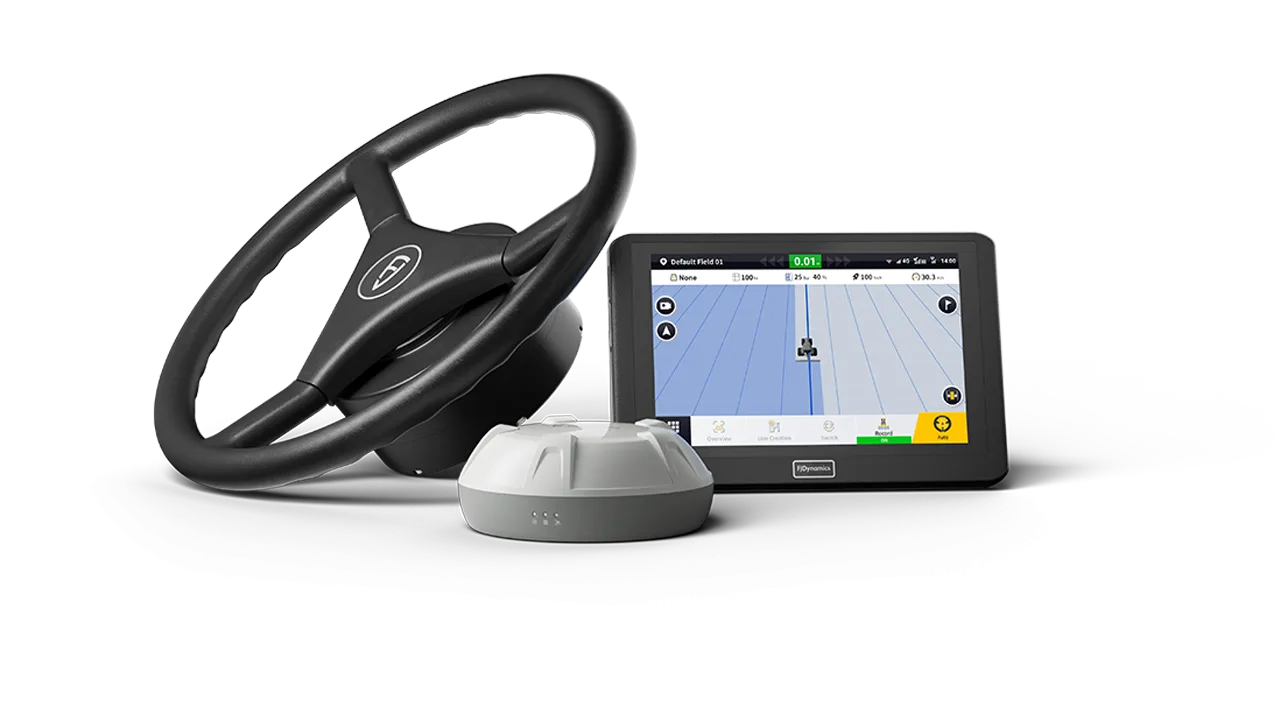
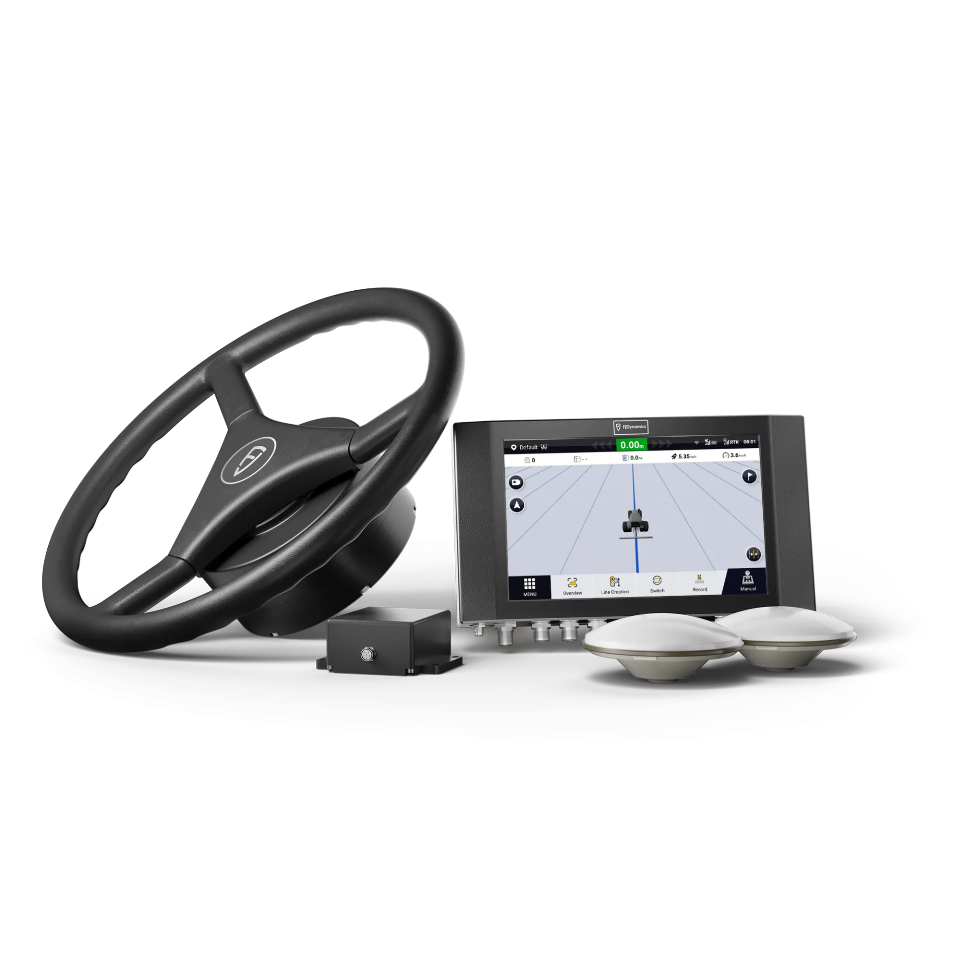
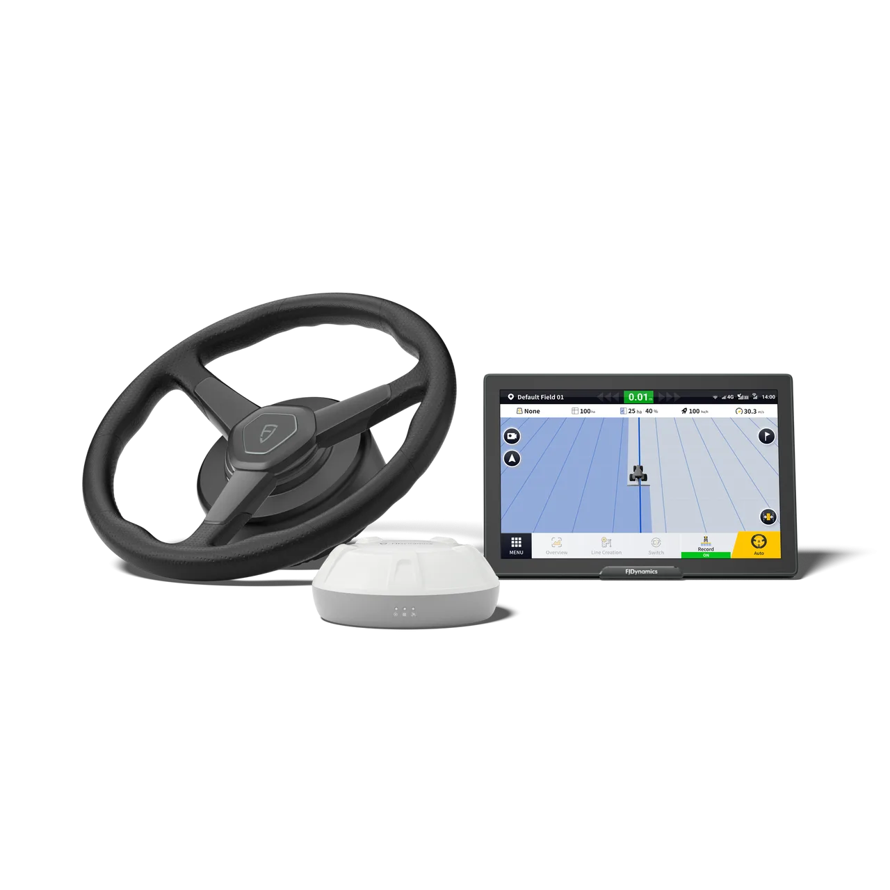
FJDYNAMICS AT2 MAX Auto Steering System
The FJD AT2 MAX provides guidance lines and reference lines to steer your tractor on any t…
2.5 cm6-axis

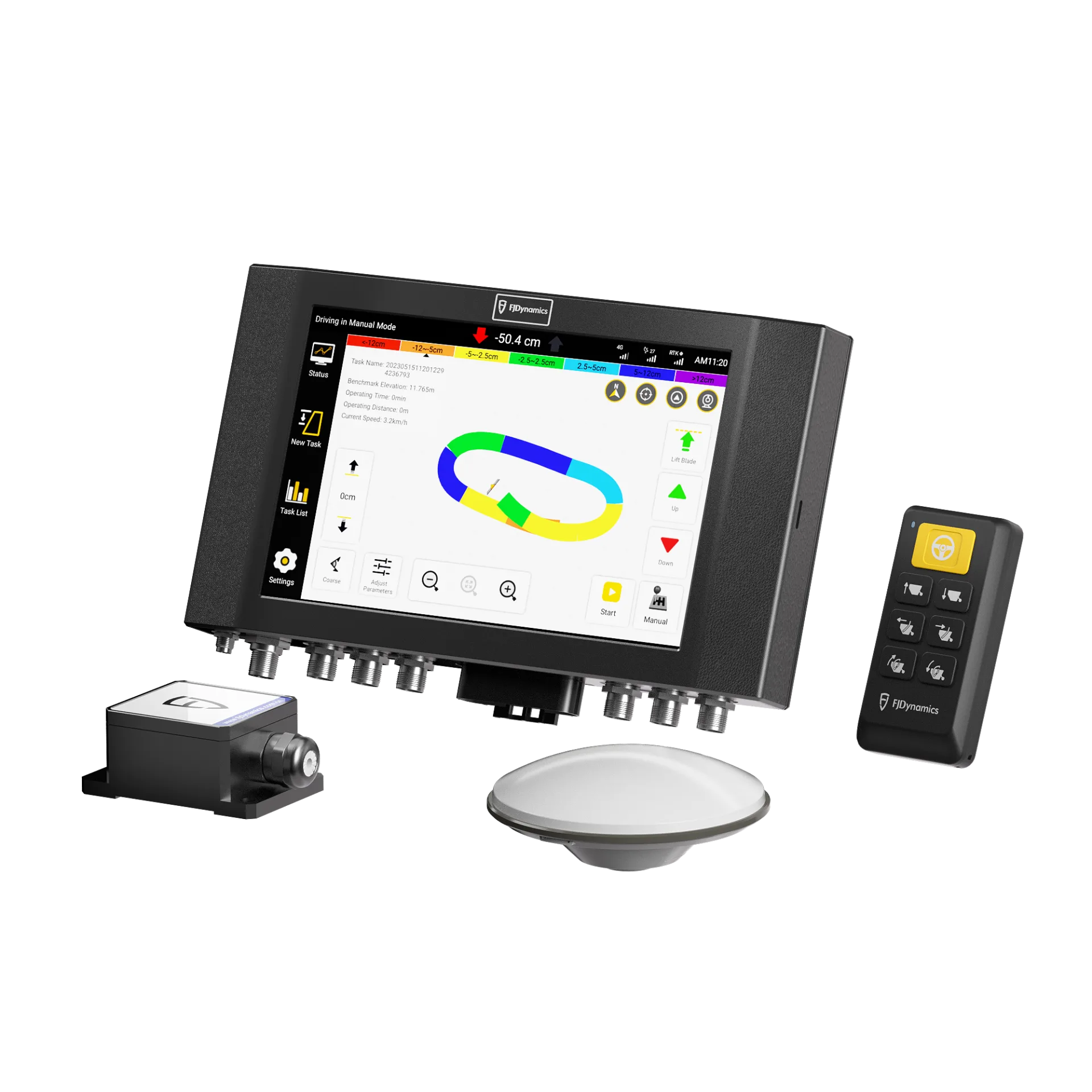
The FJD AL01 3D Land Leveling System uses high-precision GNSS and RTK positioning technology to deliver a comprehensive land grading solution. This GPS land leveling system can improve water management and increase productivity and profit. Application Reclaiming Unc
The FJD AL01 3D Land Leveling System uses high-precision GNSS and RTK positioning for complete land grading. This GPS leveling system improves water management, productivity and profit.
Light-duty mode is suitable for precision leveling of areas with small elevation differences. Under the same conditions, it uses 10% less fuel than heavy-duty mode. The maximum speed reached in light-duty mode is 15 km/h. Leveled land saves 22% water compared with unleveled land.
Heavy-duty mode levels land with large elevation differences and is used in the early stages of land reclamation work.
Say goodbye to the troublesome setup, limited signal coverage and weather dependence of laser systems. Say hello to the AL01, a GNSS-based land leveling system that delivers 2.5 cm precision1, increases efficiency by 40% and covers a wider area as noted in item 2.
Guides the operator to move the minimum amount of soil needed to create the desired surface.
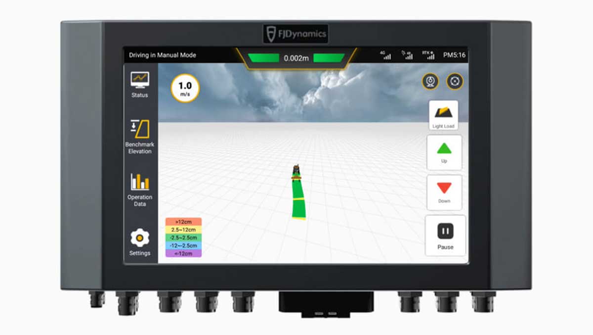
Shows the tractor's real-time speed.
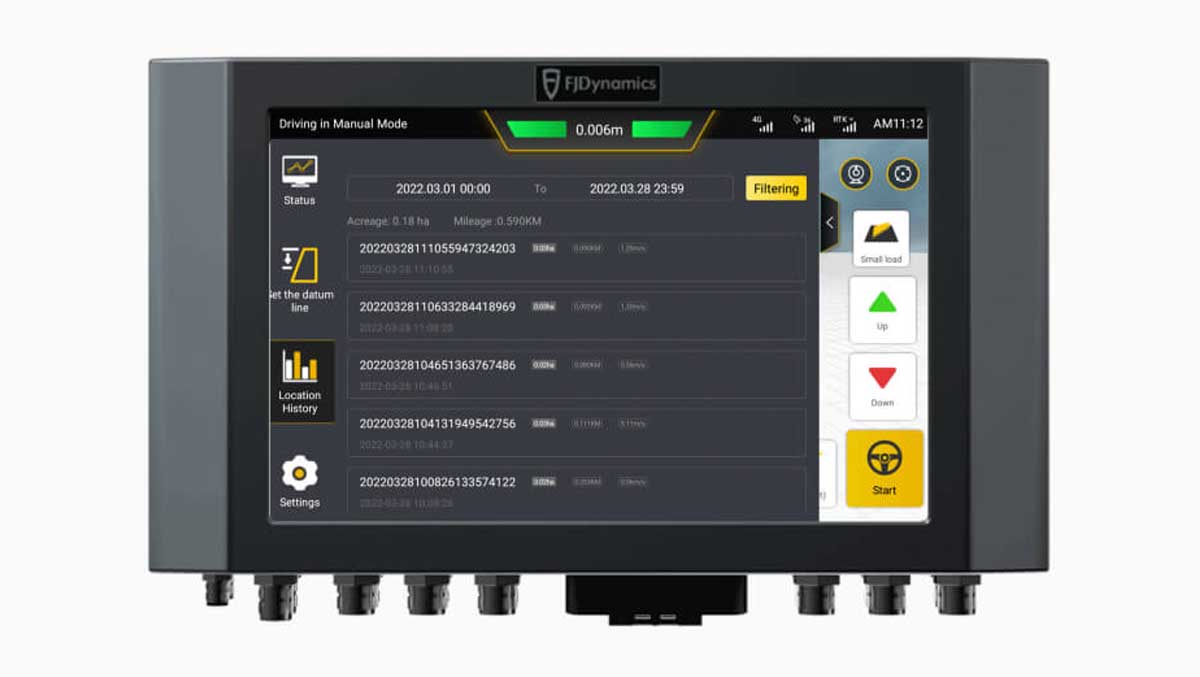
Calculates the hectare values of leveled areas.
Survey the land, set the benchmark height, adjust the scraper and level the land based on the benchmark located on the right side of the cab.
Manually lower the scraper blade to the desired height and set it as the benchmark.
There are two methods for setting a benchmark to level uneven sloped areas. 1. Determine the elevations at the highest and lowest points of the sloped area so the system configures a flat surface as the benchmark. 2. Set the elevation of one point, then manually raise or lower the value to create an offset and enable benchmark surface generation.