Agras T40: Precision Mapping Features for Safer and Faster Operations
27 May 2024
The agricultural sector is evolving rapidly, driven by the need for sustainability and efficiency. In this world of constant progress, the Agras T40 offers a major innovation. It represents the combination of aerial crop protection and mapping. In this article, we will look at the T40's outstanding
The agricultural sector is evolving rapidly, driven by the need for sustainability and efficiency. In this world of constant progress, the Agras T40 offers a major innovation. It represents the combination of aerial crop protection and mapping. In this article, we will look at the T40's outstanding mapping features. It offers safer and more efficient operations for innovators in agricultural technology and precision agriculture.
From Challenging to Cutting Edge
Field mapping and spray planning used to be challenging tasks, limited by the precision and efficiency of the tools available. Comprehensive field data collection required hours of manual work in the field. Even after drones arrived, creating accurate maps required a separate mapping drone and software. Today, drone technology like the Agras T40 simplifies these processes and improves how terrain data and crop health information are obtained and used.
Agras T40: Refined Technology
The T40 makes mapping and operation planning easier than ever. It is equipped in particular with a high-resolution First Person View (FPV) camera and the DJI RC Plus. This way, the Agras T40 provides unmatched control and clarity in local field mapping operations.
High-Resolution FPV Camera
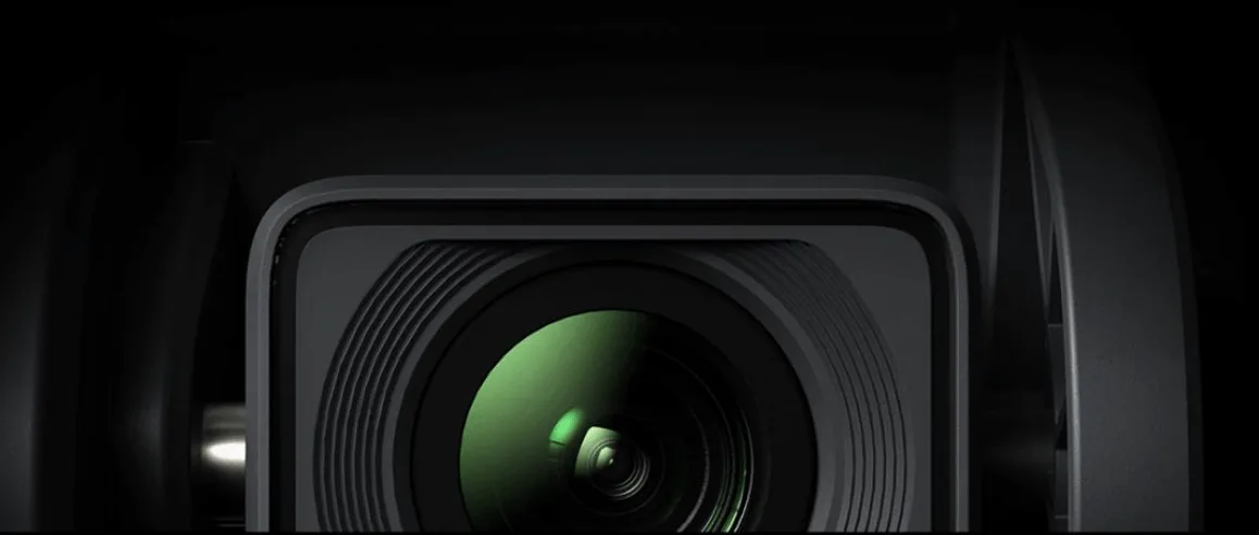
First, the T40 has an FPV gimbal camera that can capture the details of landscapes with clarity. This camera goes beyond being a mere aerial photography tool. It turns images into detailed maps. In addition, with its 12-megapixel adjustable gimbal, it can map with high precision from an altitude of 30 meters. This makes ditches, wooded areas, and parcel boundaries easy to detect.
Durable, Protected Gimbal Camera
The T40's FPV camera has an impressive IPX6K rating. DJI engineers achieved this by carefully placing the gimbal camera's components to improve protection. In addition, the oil seal structure and motor shaft keep gimbal rotation smooth. This design resists potential lens erosion. As a result, it keeps your footage clear at all times.
Local Mapping, No Internet Required
One of the T40's biggest features is its ability to create local maps without an internet connection. This is crucial for remote areas where a reliable internet connection is rare. High-quality mapping is therefore now possible anywhere, anytime.
DJI RC Plus Performance Remote Controller
The DJI RC Plus is a high-performance remote controller where all mapping processes take place. It is equipped with a new-generation 8-core processor and a 7-inch high-brightness screen. This way, the T40 turns captured images into comprehensive maps. This technology is combined with an easy-to-use interface. As a result, the DJI RC Plus becomes a seamless bridge connecting the user to the technology.
The Agras T40 is a tremendous example of how technology can reshape an industry. With its versatile mapping capabilities and unique features, the T40 offers a solution tailored to the needs of modern agricultural operations. For those seeking to work in a safer, smarter, and more efficient way, the Agras T40 not only answers that need but also sets a new standard.
At Daze Tarım, we are committed to shaping the future of agriculture with innovative solutions like this. Meet the Agras T40 and discover how DJI's advanced radar and vision systems can transform your agricultural ventures.